Richard Zink
6323beccf9
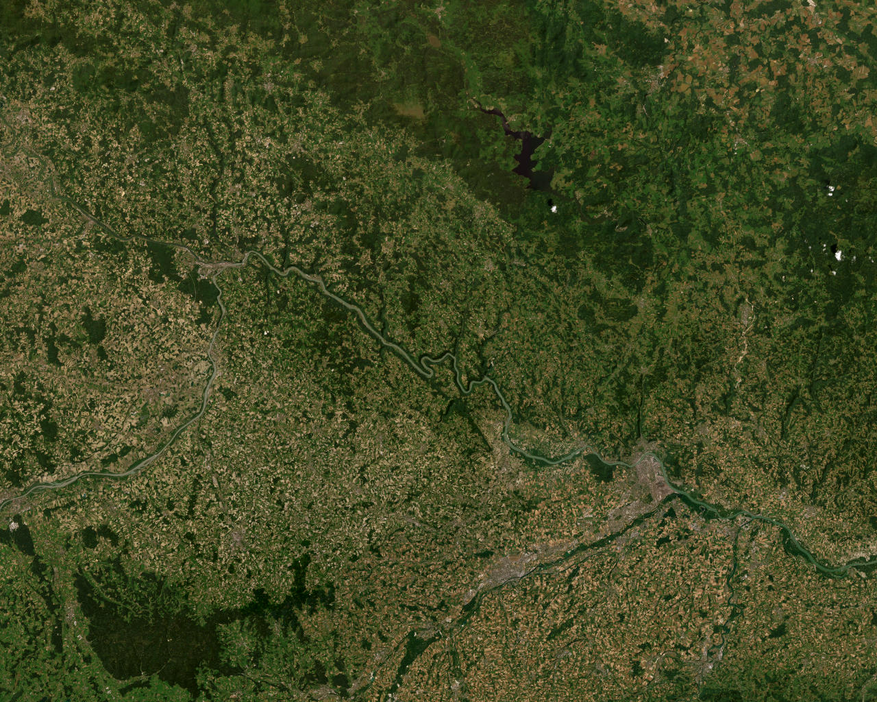
Pulled a 5x4 tile mosaic of the Passau region (zoom 10) from
ESRI's free ArcGIS World Imagery service, stitched + resized to
1024x768 JPEG (277 KB). Added to Dockerfile as ground.jpg.

Shader side:
- New uniform uGround (texture unit 1)
- horizonMask: rd.y in [-0.20, -0.02] -> ground fades in from 0
  to 1 as we look further down
- gUv derived from rd.xz so looking forward/down scrolls across
  the satellite image (parallax-like feel)
- Distant ground fades toward uBg via a 'fog' factor so the horizon
  blends naturally with the sky gradient

Loading is async — clouds render before ground texture arrives.
Falls back to a black sample if ground.jpg fails to load.
2.7 MiB
1280x1024px
2.7 MiB
1280x1024px